The best time to trek northern Vietnam is roughly late September to November and March to April — mild, clearer skies, and either the golden rice harvest or the spring rhododendron bloom. The heavy rains from about May to August are the season most people are told to avoid. You can still trek then, on the right days, but only if you know how to read the rain — and are willing to call it off. Here is how we decide.
When is the best time to trek northern Vietnam?
Northern Vietnam has two windows that reward a trek, and one stretch that asks for caution.
| Window | Months | What you get |
|---|---|---|
| Autumn (best overall) | Late Sept – Nov | Clear skies, cool air, golden rice terraces, big mountain views |
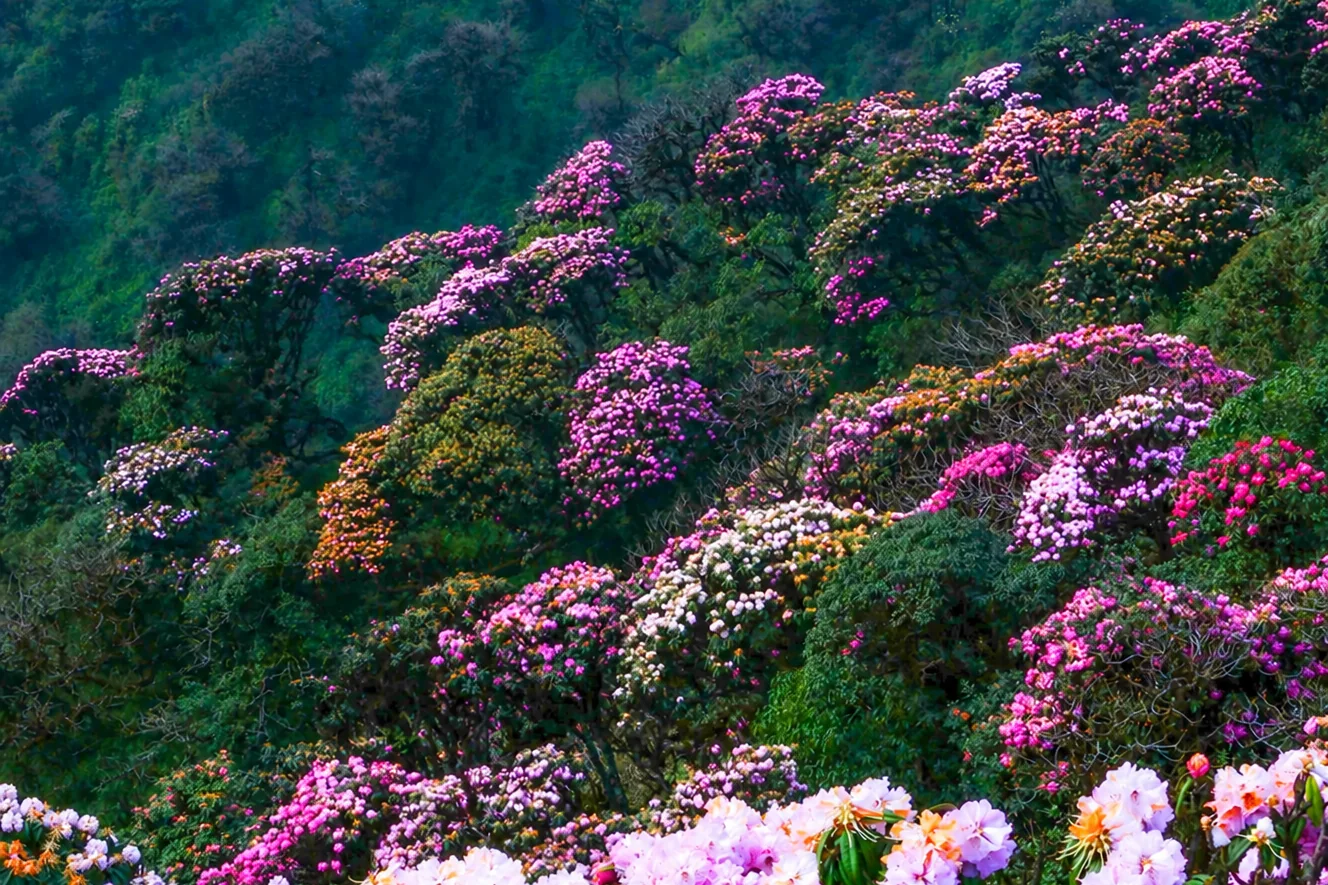
| Spring | March – April | Fresh green, the rhododendron bloom on peaks like Putaleng |
| Rainy season | ~May – Sept (heaviest Jun – Aug) | Lush and dramatic, but slippery trails and real landslide risk |
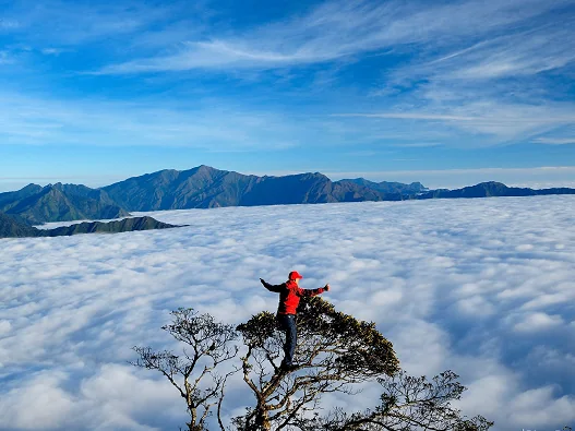
| Deep winter | Dec – Feb | Cold and often cloud-locked; the classic cloud-hunting season on ridges like Tà Xùa |
If you simply want the safest, most reliable trek, aim for October. For the full picture of which peak suits you, see our guide to trekking Vietnam’s highest peaks, and for the harvest timing, rice harvest season in Sapa & the Northwest.
Can you trek in the rainy season?
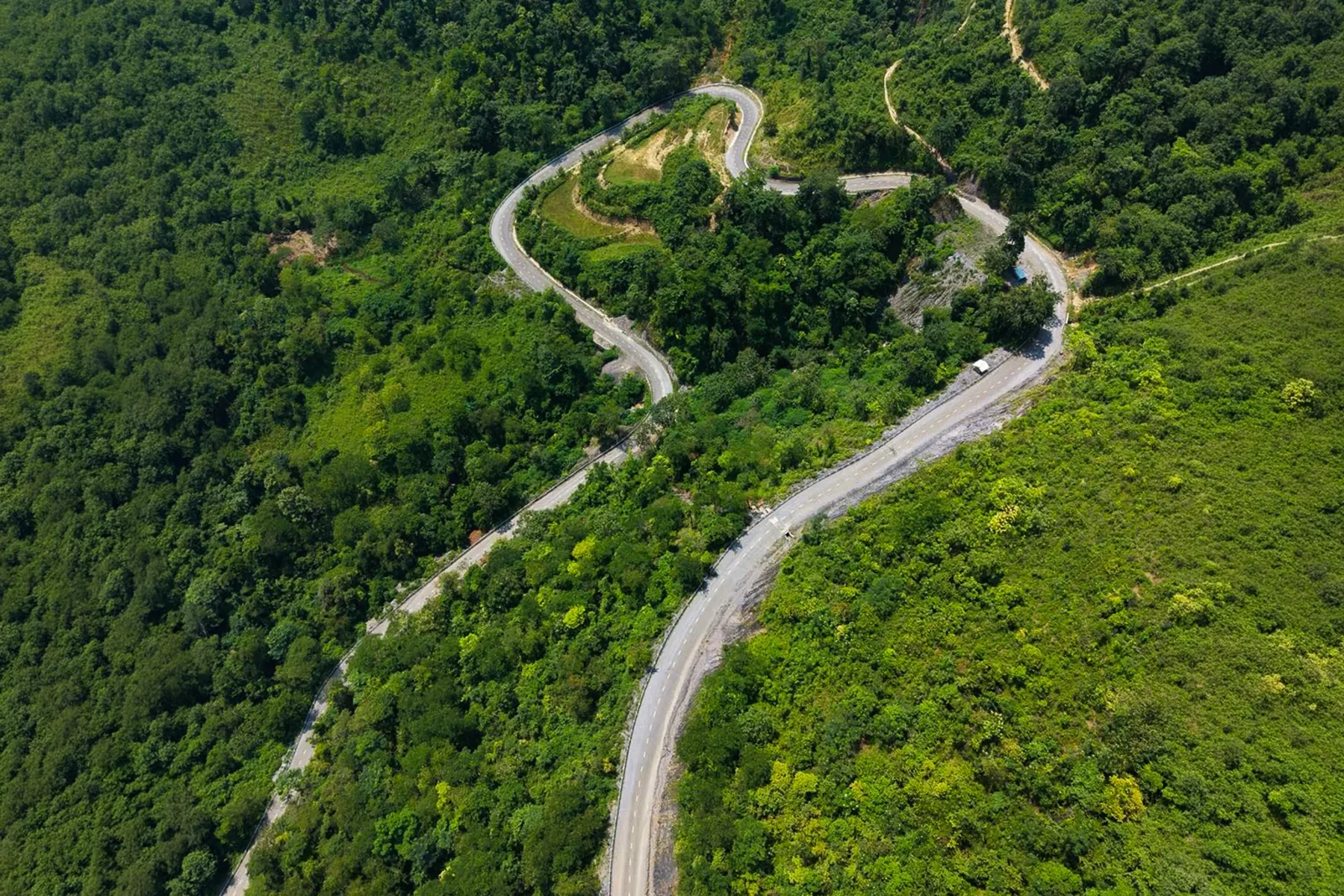
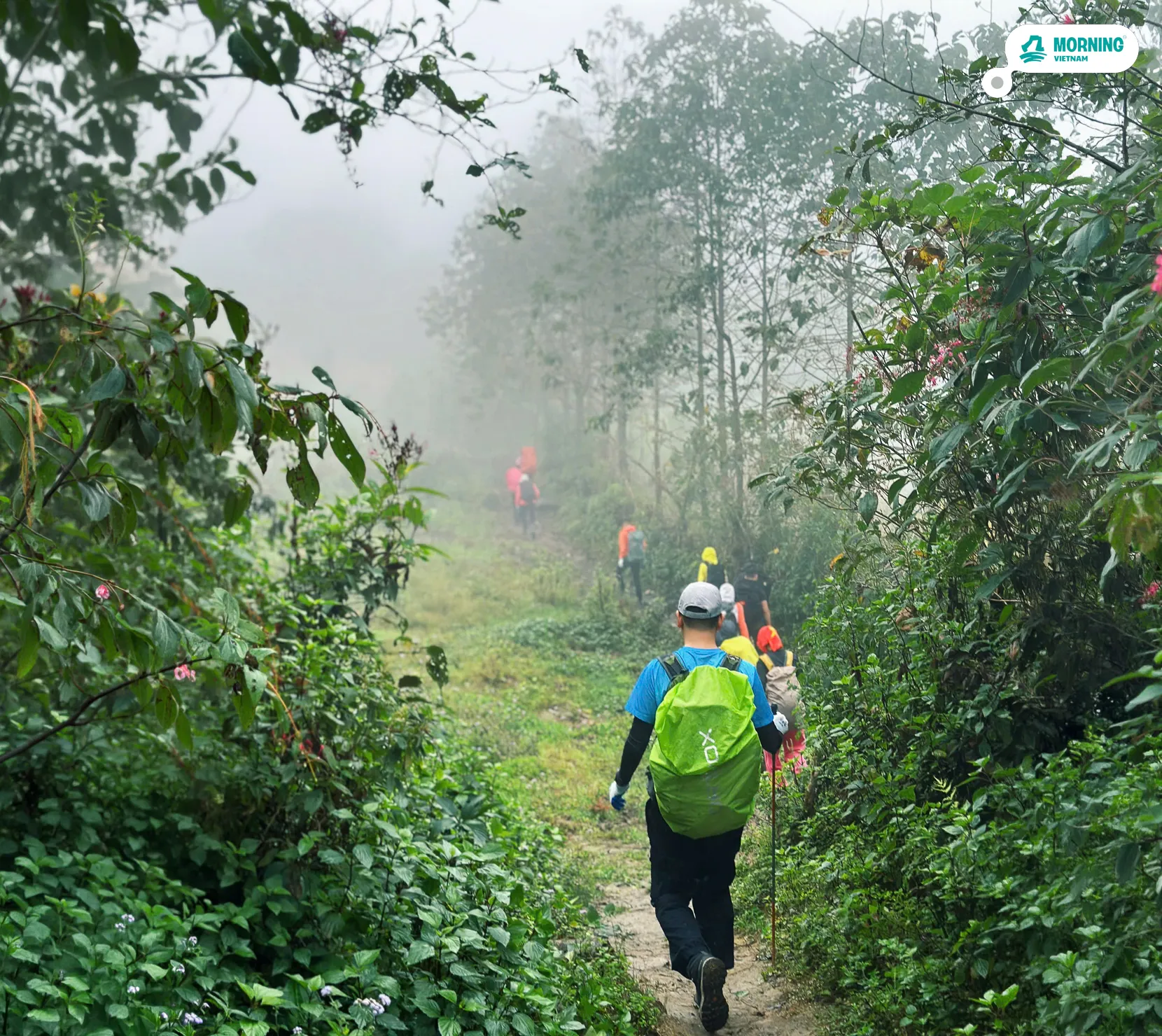
Yes — but read this part carefully. The Northwest is genuinely beautiful in the wet months: cloud pours over the ridges, the forest is alive, and the crowds thin out. The catch is that the same rain that makes it beautiful also makes steep trails slippery, swells streams in minutes, and triggers landslides on the mountain roads that get you to the trailhead.
So the rainy season is not a flat “no.” It’s a “only on the right days, and only if you’re willing to cancel.” The rest of this guide is the method we use to tell a good day from a dangerous one.
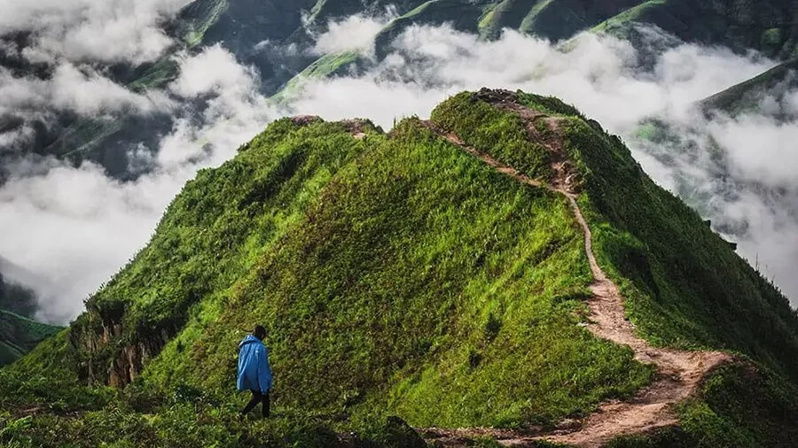
How to judge whether it’s safe to go
Over years of going up in the wet season, this is the checklist we actually use:
- Say no to the summit if you’re not sure. Honest self-assessment first — if you don’t have the experience to read conditions, this isn’t the season to learn on.
- Stay near the major roads. Pick routes close to national or provincial highways. If a landslide blocks the road, those get cleared first. Sapa and the higher parts of Lai Châu town, for example, handle heavy rain far better than remote valleys.
- Ask trusted locals in that exact area. Not a generic forecast — people who live there and are objective about the road in and the rain trend over the last few days. “Rain at night, clear and sunny by morning” is a very different trip from “rain all day, every day.”
- Read the rainfall numbers, not just the icons (see the go / no-go guide below).
- Follow the official warnings. The National Center for Hydro-Meteorological Forecasting (NCHMF) posts continuous, location-specific alerts; commune and provincial pages flag dangerous spots in real time.
One honest note: don’t outsource the decision entirely to a porter or an operator. Everyone’s appetite for risk is different, and everyone answering you has their own reason for the answer. Gather the information and make your own call.
Reading the rain: what the numbers mean
Weather icons lie; rainfall totals don’t. We use Windy (the paid tier gives detailed, per-location rainfall) and read it against these thresholds. Here’s the quick version:
In table form, for quick reference:
| What Windy shows | What it means | Decision |
|---|---|---|
| ~0.x–2 mm/hour, short spells, then sun | Light, local showers; mostly dry, scenic | Go, with care |
| 50+ mm total over the last 3–5 days | Ground saturated; landslide risk lingers | Caution — reconsider |
| 50+ mm in 24h, or 25+ mm in 12h | Heavy rain; flooding & landslides likely | Don’t go |
Where to check the weather and warnings
No single source is enough — cross-check:
Windy for the raw numbers. Read the hourly and daily rainfall for your specific trailhead and valley, not just the nearest town. Conditions change fast across short distances: on one trip, there was flooding at Khổng Lào (Lai Châu) and Mường Khương while Y Tý, not far away, saw not a drop for two days.
NCHMF, Vietnam’s National Center for Hydro-Meteorological Forecasting, for official warnings — it posts continuous, detailed alerts, including a dedicated flash-flood and landslide bulletin by province. Lai Châu, Lào Cai, Tuyên Quang and Sơn La all see serious rain in the wet months.
Local and official pages — commune and provincial channels, and trusted people who live in the exact area. They know the road in and the recent trend better than any app.
Staying safe even on clear days
A sunny forecast where you are standing is not the whole story. Rain falling higher up a valley can swell a stream or waterfall within minutes.
Two real examples from our own trips: at Y Tý, after two clear, sunny days, we still wouldn’t cross the stream at Cầu Thiên Sinh — a single heavy shower upstream and the water comes up fast and doesn’t drop. And at Thác Rồng, sunny and calm, one small burst of rain was enough to raise the water and sweep a bamboo raft away. So even on good days: don’t linger crossing streams or at waterfalls, especially if there has been rain upstream.
The bottom line
The best time to trek northern Vietnam is still the autumn window, and if you’re nervous about the rain the honest answer is simple: don’t go — wait for late September or October. The mountains will still be there, and they’ll be at their best.
If you do want to go in the wet season, gather the information above and make your own call rather than leaning on anyone else’s. On our side, we watch exactly these conditions before every departure and will move or postpone a trek rather than push into bad weather — have a look at our peak treks, or read one trekker’s story of the Putaleng rhododendron forest. Safe trails, whichever season you choose.
FAQ
When is the best time to trek northern Vietnam? The two best windows are roughly late September to November — clear skies and the golden rice harvest — and March to April, for spring and the rhododendron bloom. Avoid the heaviest rains from about May to August, when trails get slippery and landslides are a real risk.
Is it safe to trek Sapa and the Northwest in the rainy season? It can be, on the right days, but the rainy season (roughly May to September) carries real flooding and landslide risk. Trek only if you can read the forecast, stay near major roads, and are willing to cancel. If you’re unsure, wait for the September–November window.
How much rain is too much to trek? By Vietnam’s meteorological standard, 50+ mm in 24 hours (or 25+ mm in 12 hours) counts as heavy rain — on steep terrain that usually means local flooding or landslides, so don’t go. Also watch multi-day totals: 50+ mm built up over the previous 3–5 days keeps landslide risk high even after the rain stops.
What are the best weather apps and sources for Vietnam trekking? Windy (its premium rainfall data is detailed per location), warning bulletins from NCHMF, Vietnam’s National Center for Hydro-Meteorological Forecasting, and local sources — commune and provincial pages, plus experienced locals in the exact area you’re heading to.
The weather is clear — is it completely safe? Not always. After recent rain, streams and waterfalls can surge within minutes from rain falling higher up the valley. Even on sunny days, don’t linger crossing streams or at waterfalls, and avoid crossings like Cầu Thiên Sinh if there has been rain upstream.
Written by Tùng, co-founder of Morning Vietnam, from years of trekking the Northwest in every season. This is general guidance, not a substitute for current local advice — always check live conditions and warnings before you set off, and consider travel insurance that covers trekking.